Agenda
Réservez
×
en
campings-millau-grand-causses
Nos 3 destinations
Sapin Automne Pouncho Parapente005alex Humbert12022min
©
Sapin Automne Pouncho Parapente005alex Humbert12022min
Millau
Gr736 Gorges Du Tarn 7 Exodams
©
Gr736 Gorges Du Tarn 7 Exodams
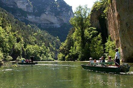
Top activities in the Gorges du Tarn et de la Jonte
Eau Paysage La Roque Enzoplanes Min
©
Eau Paysage La Roque Enzoplanes Min
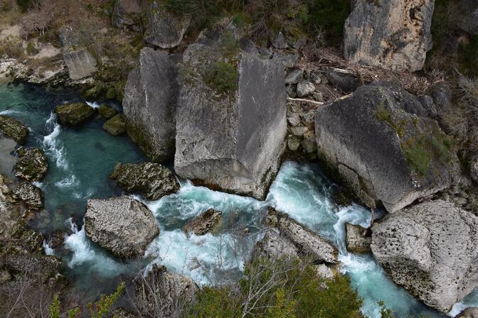
The Dourbie gorges and the Cévennes mountains
Les campings
Pouncho12 1920x1201 Exodams Exploremillau
©
Pouncho12 1920x1201 Exodams Exploremillau
Riverside campsites
Clara Ferrand Wildroad Crtloccitanie 0039133 Md
©
Clara Ferrand Wildroad Crtloccitanie 0039133 Md
Campsites in Millau
Tawara 007 2022alexhumbert
©
Tawara 007 2022alexhumbert
Gorges campsites
Campings Millau Grands Causses Gorges Du Tarn Brigade Sourire 12
©
Campings Millau Grands Causses Gorges Du Tarn Brigade Sourire 12
All campsites
Mes expériences campings
Peyreladecastle017alexhumbert
©
Peyreladecastle017alexhumbert
Heritage experience
Activités sports nature
See photos (4)
Back to the list
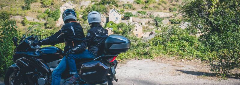
Itinérance le long du Tarn, des gorges à la vallée
Motorcycle
in Sainte-Enimie
Download
Points of interest
Difference in height
Download
Points of interest
Difference in height
Warning: Unsecured hours
169.4
km
One-way
Motorcycle
8h
Medium
Departure
Sainte-Enimie
Difference in height
2571.21 m
Documentation
GPX Trace
KML File
GPX / KML files allow you to export the trail of your hike to your GPS (or other navigation tool)
Points of interest
1
2
3
4
5
6
7
8
9
10
11
12
13
14
15
16
17
18
19
20
21
22
23
24
25
26
27
1
2
3
4
5
6
7
8
9
10
11
12
13
14
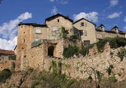
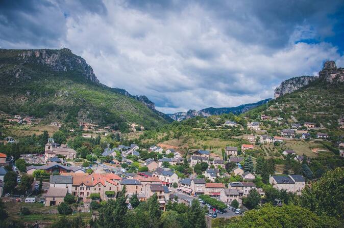
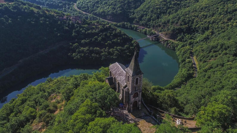
Château de Peyrelade
CASTLE
Rivière-sur-Tarn
15
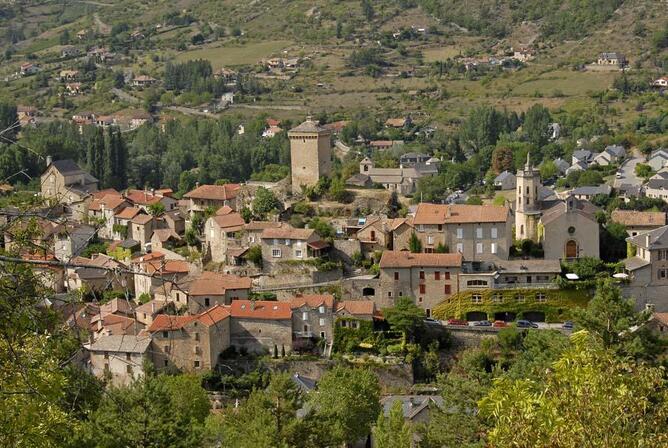
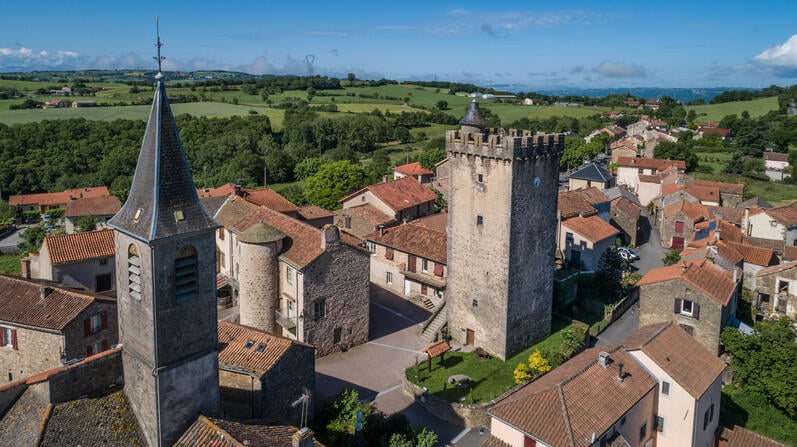
Beffroi de Millau - Tour des Rois d'Aragon
CASTLE
Millau
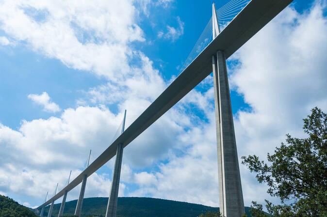
Viaduc de Millau, le Sentier des Explorateurs
INTERPRETATION CENTRE
Millau
16
17
18
La Maison de la Truffe
MUSEUM
Comprégnac
19
20
21
22
23
24
25
26
27
2571 meters of difference in height
Start altitude :
471 m
End altitude :
178 m
Maximum altitude :
573 m
Minimum altitude :
170 m
Total positive elevation :
2571 m
Total negative elevation :
-2864 m
Max positive elevation :
107 m
Min positive elevation :
-111 m
×
Sélectionnez les options d'impression …
Imprimer le titre et la description
Imprimer les étapes
Imprimer les points d'intérêts
Imprimer les photos des points d'intérêts
Imprimer le graphique de dénivelé
Imprimer la carte
Close
Popular searches
{% label %}
Filter search
Page types
All
Articles
Agenda
Lists
from
{% price %}
{% currency %}
{% title %}
{% subtitle %}
{% description %}
{% town %}
{% iti_length %}
{% iti_duration %}
{% iti_difficulty %}
Aucun résultat
/
English
Français
Nederlands
Close
×