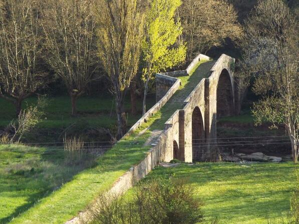
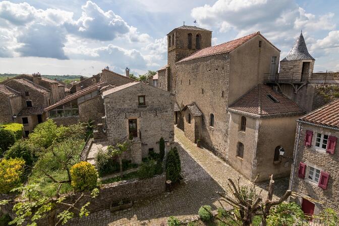
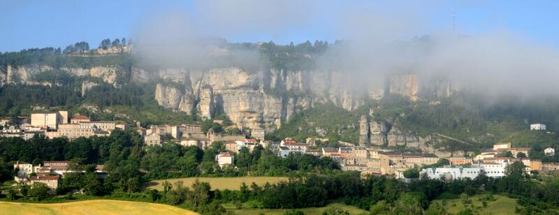
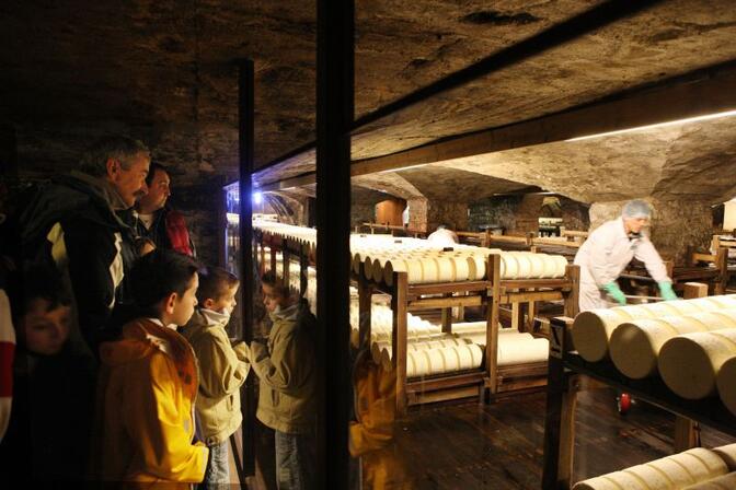
See photos (4)

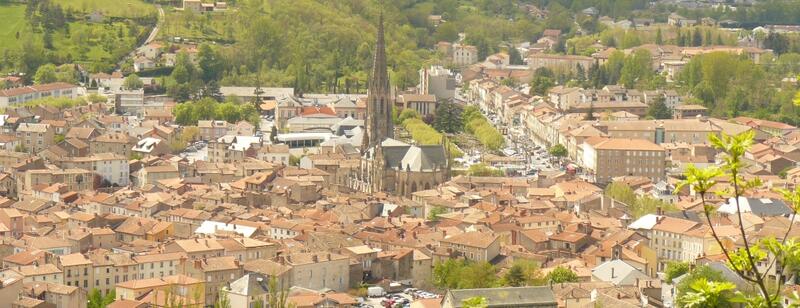
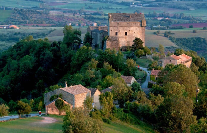
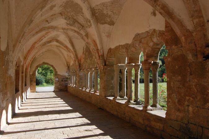
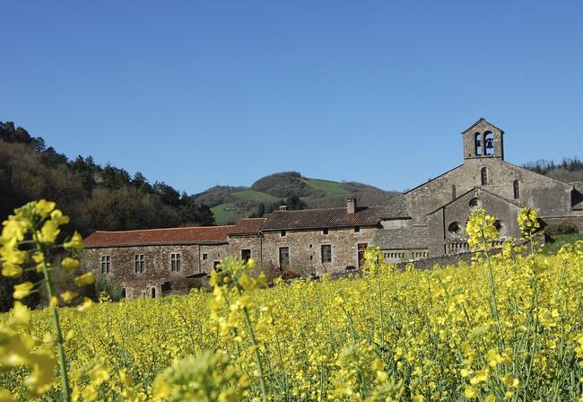
De la vallée de la Sorgue aux Rougiers (1)

Motorcycle in Millau
142.0 km
Loop
Motorcycle
8h
Easy
  • Departure
    Millau
  • Difference in height
    1766.44 m
  • Documentation
    GPX / KML files allow you to export the trail of your hike to your GPS (or other navigation tool)
Points of interest
1
Le Viaduc de Millau vu de Peyre crédit OT Millau Grands Causses.jpg
2
St-Affrique ©OT Roquefort et St-Affrique.jpg
3
montaigut.jpg
4
Cloître de Sylvanès crédit ADT Aveyron.jpg abbaye de sylvanès crédit ADT Aveyron.jpg
5
egliserusse.jpg
6
saint-felix-©ot Roquefort et St-Affrique.jpg pont saint-felix-©otprsa.jpg
7
porche-versols ©otprsa.jpg
8
Fort cistercien de St-Jean d'Alcas©otlv.jpg
9
Roquefort ©OT Pays de Roquefort et St-Affrique.jpg caves ©prsa.jpg
1766 meters of difference in height
  • Start altitude : 373 m
  • End altitude : 360 m
  • Maximum altitude : 682 m
  • Minimum altitude : 307 m
  • Total positive elevation : 1766 m
  • Total negative elevation : -1779 m
  • Max positive elevation : 119 m
  • Min positive elevation : -164 m
Close
Filter search
Page types
  • All
  • Articles
  • Agenda
  • Lists
Aucun résultat